A hidden crater
Anyone who arrives in Chicxulub expecting a giant hole is in for a surprise: there's nothing to see. NASA explains that the crater, about 180 km wide, is buried under roughly a kilometer of younger rock and sediment. According to UNAM, its center lies near the fishing village of Chicxulub, and its northern part is under the sea.
How scientists study it
- Gravity and magnetism: impact rocks slightly alter these readings, which is how the crater's shape was mapped.
- Drilling: starting with Pemex wells in 1952, which hit melted rock without knowing its origin.
- Views from space: NASA spotted the semicircular structure in satellite images in 1990, and later gathered detailed topography with a radar aboard the Space Shuttle.
What you can see: the Ring of Cenotes
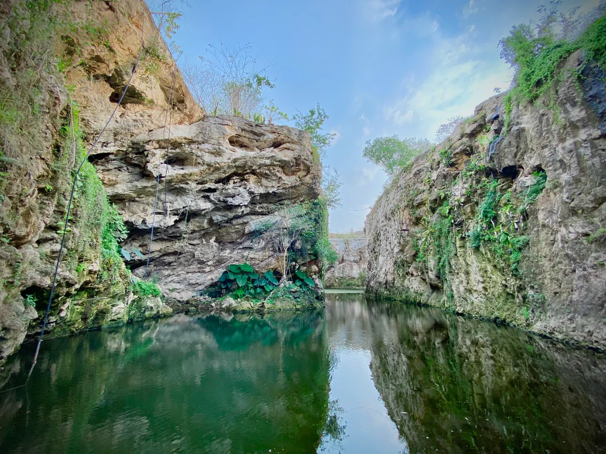
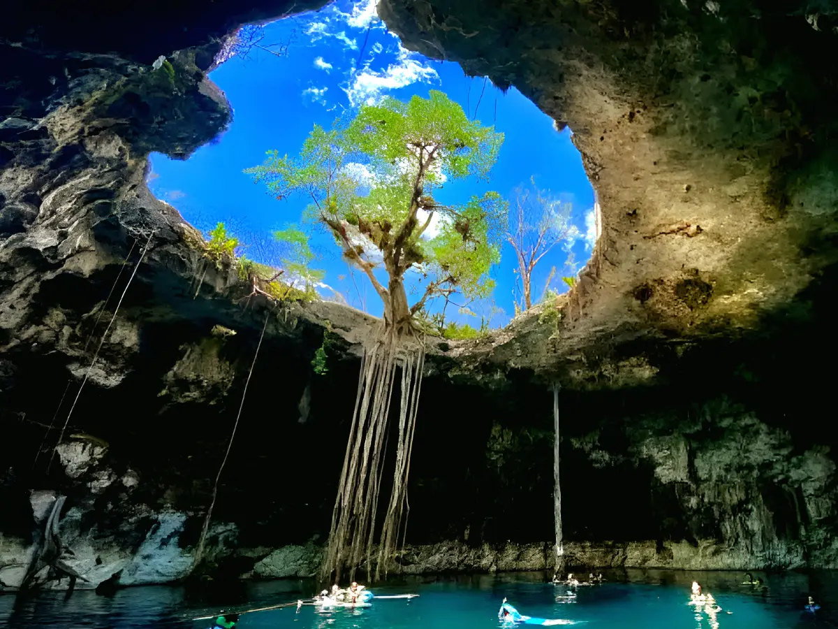
Fractures along the crater's rim made it easier for water to dissolve the limestone, so cenotes clustered there. That semicircle is now a state reserve and, according to UNAM, the crater's only visible expression.
The crater and Yucatán's water
The impact still shapes daily life: a UNAM study notes that the Ring of Cenotes acts as a high-permeability zone and pathway for groundwater. In other words, the crater helps determine where the water that supplies the region flows.
If you want to get close
- Chicxulub Puerto is on the coast near Progreso: a quiet port with no visible crater but plenty of history.
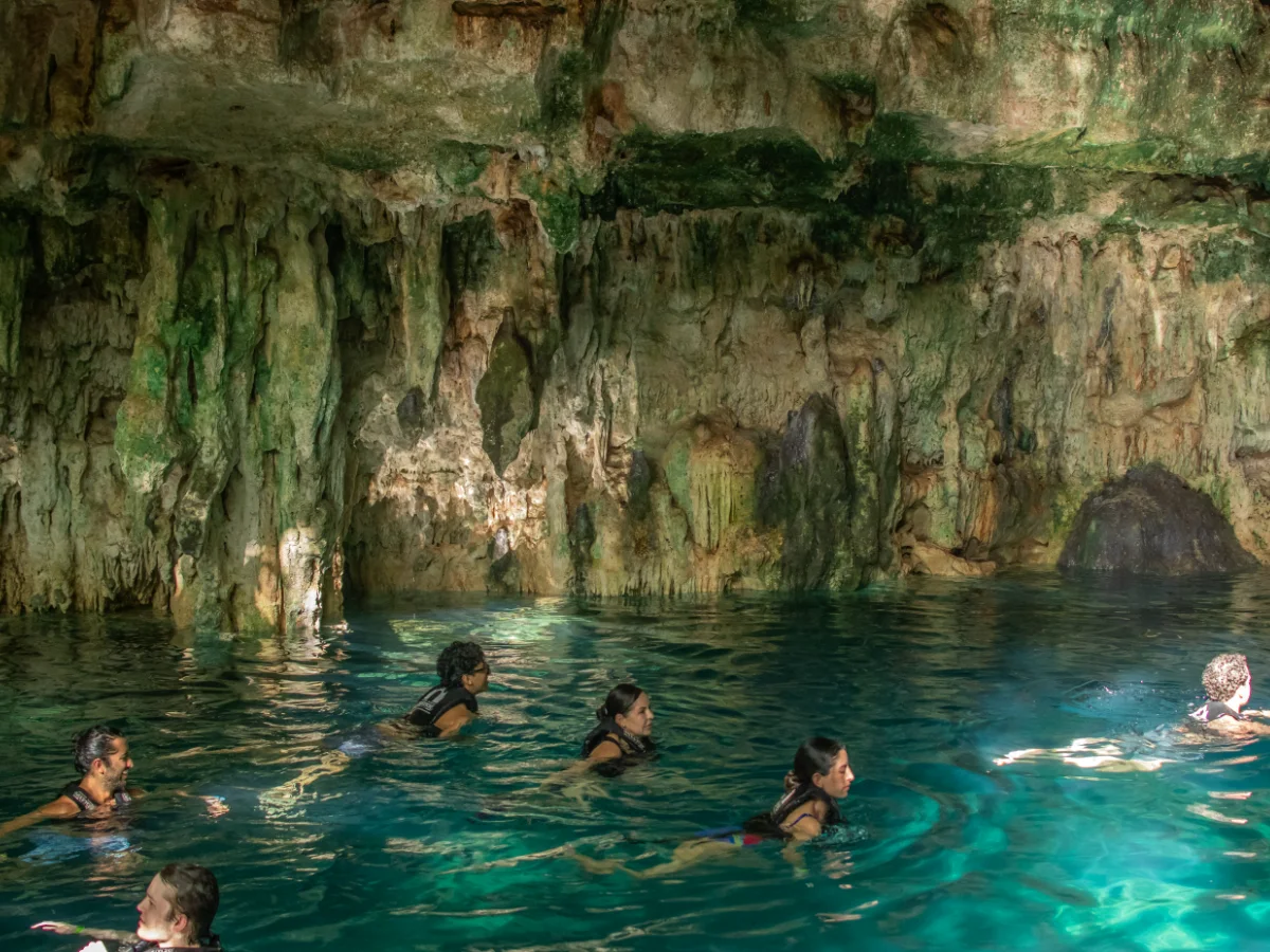
- Ring cenotes, such as those in Homún, are the most direct way to experience the crater's edge.
From Mérida
Mary Tours' North Coast and Isla Columpios trip explores the coast near Progreso, and the Santa Bárbara cenotes trip visits four ring cenotes in Homún. There's also a private transfer to Isla Columpios and Progreso. The office is on Calle 61 in Mérida's historic center.
Fun facts
- The crater lies under about a kilometer of rock.
- A radar aboard the Space Shuttle helped study it.
- The crater influences how groundwater flows under Yucatán.
Related tours
Cenotes · 7 h
The four cenotes of Santa Bárbara
Four different cenotes and a lunch made by hand
from $1,450 MXN per person
See itinerary
10:00 AM – 5:00 PM · daily
- 10:00 AM Departure from the office — An hour on the road to Homún, through the ring of cenotes.
- 11:00 AM Cascabel cenote — Closed, cave type. You descend inside and the water sits in half-light: the most striking of the four.
- 11:30 AM Chaksikín cenote — Semi-open. You go down between limestone walls painted with Maya-themed murals.
- 12:00 PM Xooch cenote — Semi-open, with a shaft of light that falls straight onto the water mid-morning.
- 12:30 PM Pool Cocom cenote — Open and surrounded by vegetation. You swim along a channel out to the wide part.
- 1:30 PM Regional lunch — Home cooking with hand-made tortillas. Plenty of time to eat without rushing.
- 4:00 PM Back to Mérida — An hour back, arriving around five.
Included: Transport, Certified guide, Entry to all four cenotes, Regional lunch
Not included: Drinks with lunch
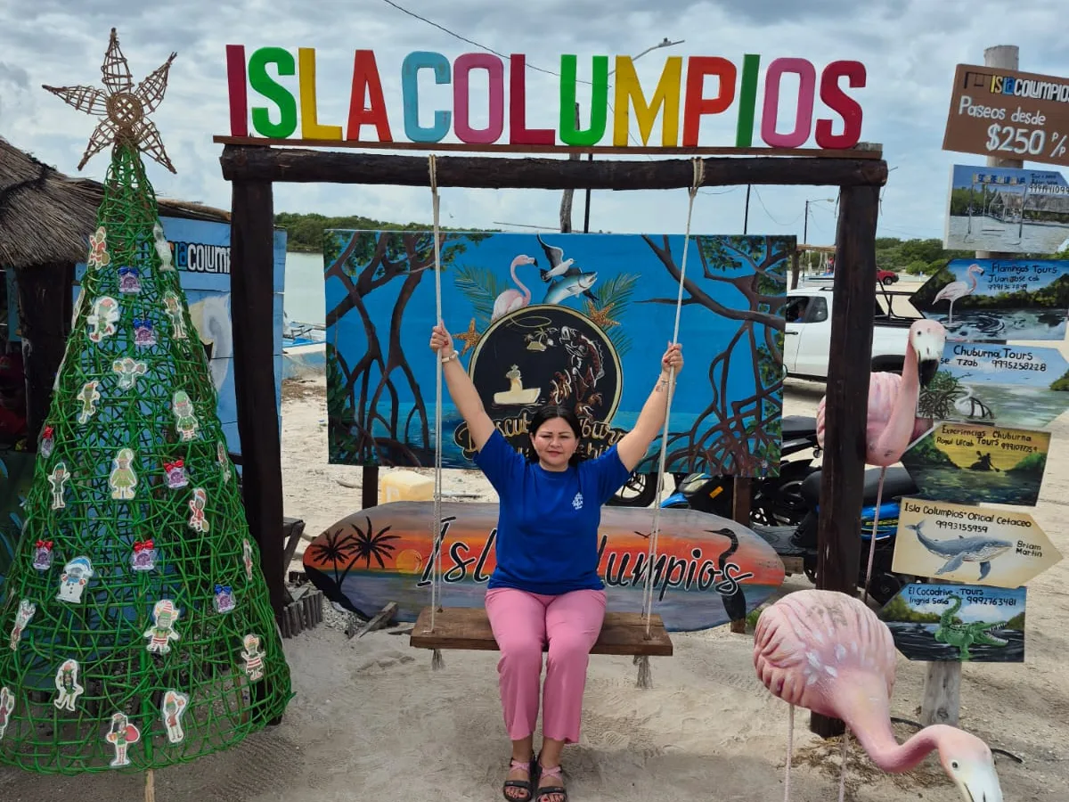
Beach · 8 h
North Coast and Isla Columpios
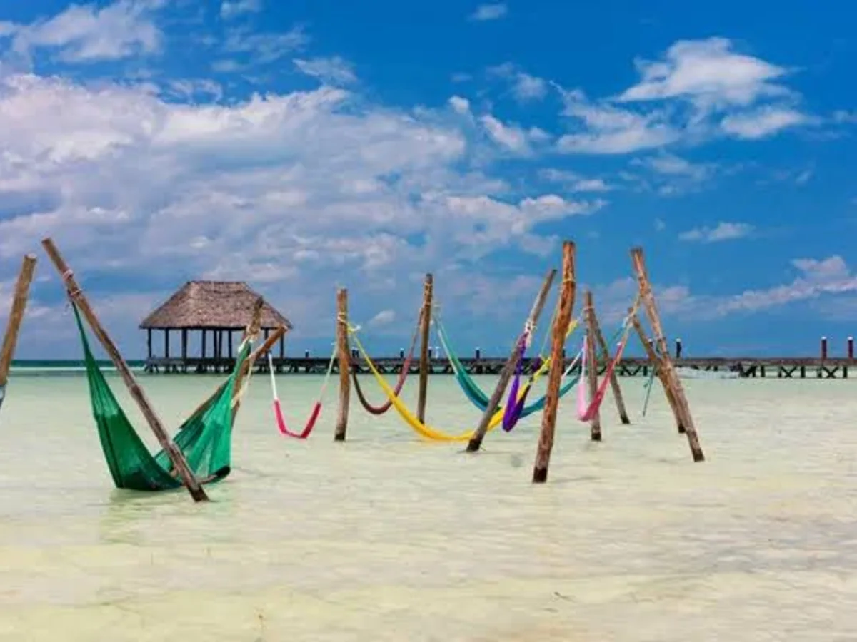
Wooden swings driven straight into the sea
from $1,250 MXN per person
See itinerary
10:00 AM – 6:00 PM · daily
- 10:00 AM Departure from the office — An hour and a quarter to the Chuburná harbour, where the boat leaves from.
- 11:30 AM Isla Columpios — Turquoise water barely past your knees, swings and hammocks over the sea, and mangrove all around full of birds.
- 1:00 PM Chuburná dunes — White sand mounds shaped by the wind, with nobody around. Good for walking and for photos.
- 2:30 PM Puerto Progreso — Free afternoon: eat on the seafront, walk the pier or stay on the beach.
- 5:30 PM Back to Mérida — Half an hour back, arriving around six.
Included: Transport, Certified guide, Boat and Isla Columpios entry
Not included: Food, Drinks
Transfers · 9.5 h
Transfer to Isla Columpios and Progreso
We drive you to the coast, wait for you and bring you back
from $2,550 MXN per vehicle
Frequently asked questions
Can you see the Chicxulub crater?
Not with the naked eye: it's buried. What you can see is the Ring of Cenotes.
Where is the crater's center?
Near the port of Chicxulub on Yucatán's north coast.
How do scientists know it's a crater?
From gravity and magnetic anomalies, drilling and satellite imagery.
What does it have to do with cenotes?
Fractures along its rim helped form the Ring of Cenotes.