A land without rivers
Travel across northern Yucatán and you won't cross a single river. That's no accident: the peninsula is a limestone shelf so permeable that rain seeps in almost immediately. A UNAM study in Geofísica Internacional describes a highly permeable karst aquifer with networks of tunnels and caves through which water moves underground.
Cenotes: windows onto the aquifer
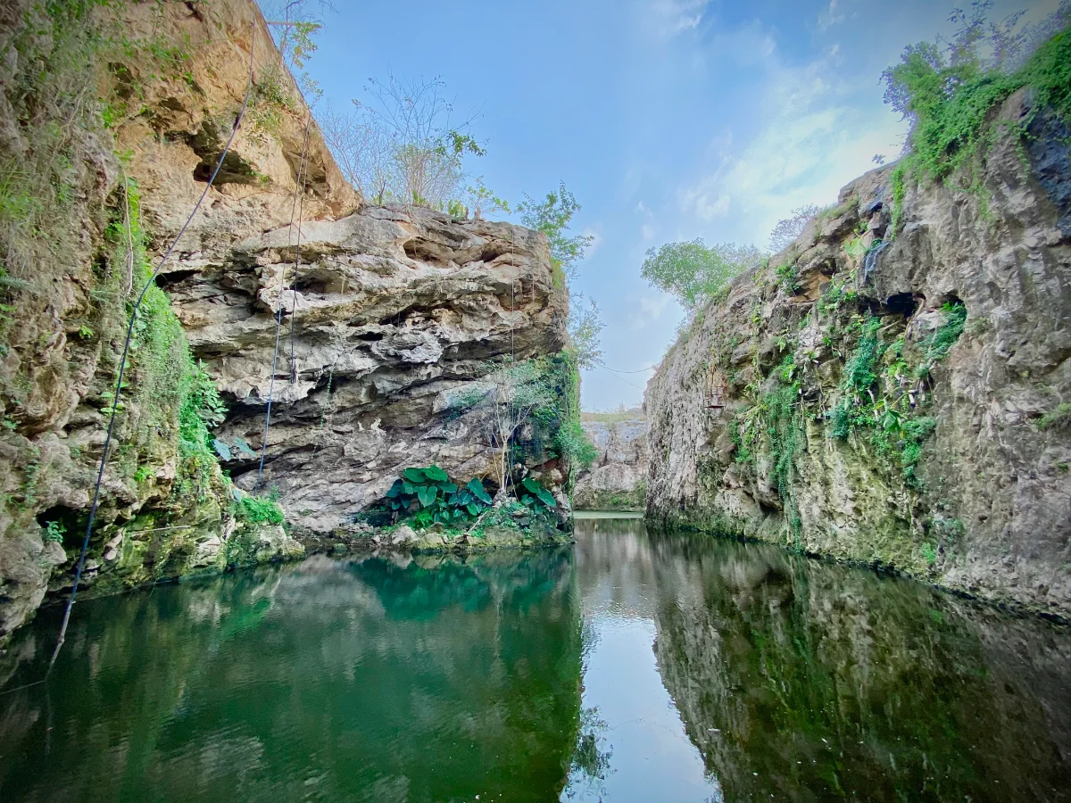
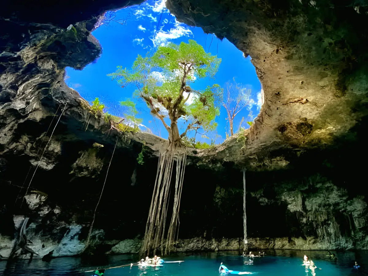
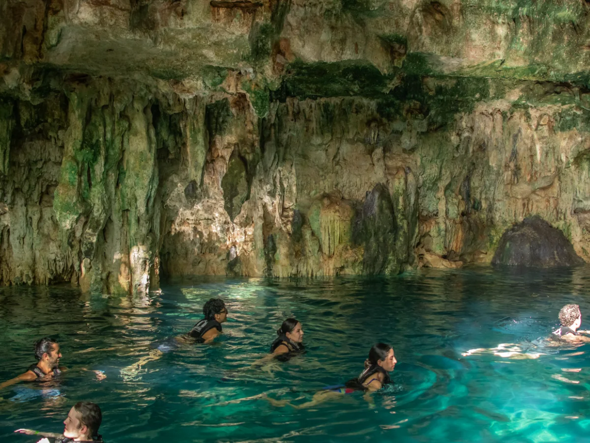
Every cenote is a spot where the roof of one of those caves gave way and the groundwater came into view. That's why cenotes aren't isolated ponds: many are connected to the vast underground water system.
The Ring of Cenotes, around the Chicxulub crater, is especially permeable and acts as an underground flow path; because of its role in recharging the aquifer, it's a Ramsar site and has been a state reserve since 2013.
The only source of drinking water
A UNAM study of northwestern Yucatán notes that the aquifer's fresh water is the area's only source of drinking water and is highly vulnerable to domestic and industrial discharges. With thin soil and permeable rock, almost nothing filters pollution before it reaches the water.
A fragile aquifer
According to a study cited in 2026, 71% of Yucatán's aquifer has high or extreme vulnerability, and UNAM's School of Chemistry monitors compounds in cenotes and supply wells. Wastewater, fertilizers and waste can reach the water quickly.
What you can do as a visitor
- Shower before entering a cenote and keep sunscreen and repellent out of the water.
- Leave no trash near cenotes and sinkholes.
- Use the restrooms at visitor sites.
- Choose managed cenotes with clear rules.
From Mérida
On Mary Tours' Santa Bárbara cenotes, Hacienda Mucuyché or Izamal and two cenotes trips, you'll literally swim in Yucatán's aquifer. The office is on Calle 61 in Mérida's historic center; prices are in the booking section.
Fun facts
- Networks of flooded tunnels and caves lie beneath Yucatán.
- The aquifer is the only drinking-water source in the northwestern peninsula.
- The Ring of Cenotes is a pathway for groundwater flow.
Related tours
Cenotes · 7 h
The four cenotes of Santa Bárbara
Four different cenotes and a lunch made by hand
from $1,450 MXN per person
See itinerary
10:00 AM – 5:00 PM · daily
- 10:00 AM Departure from the office — An hour on the road to Homún, through the ring of cenotes.
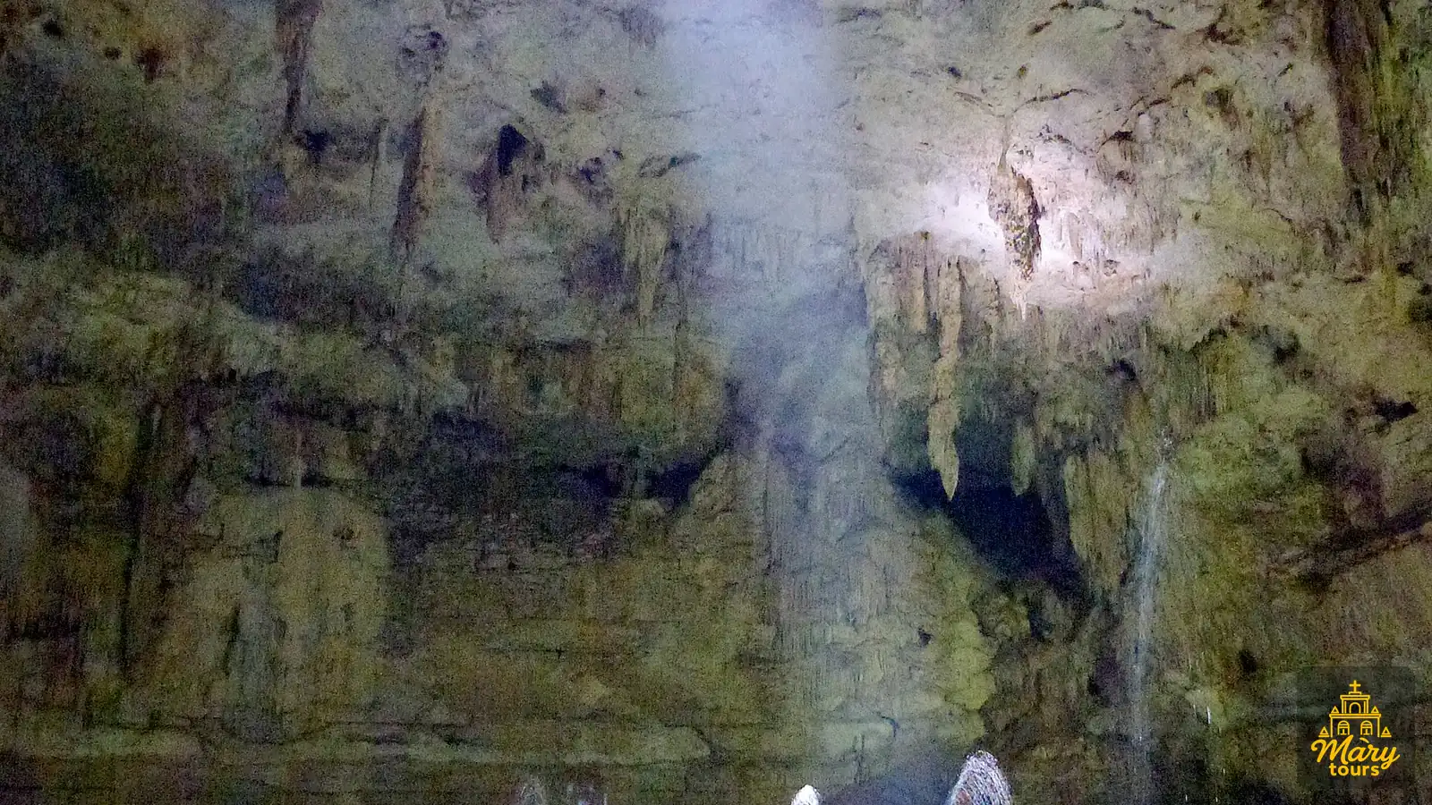
- 11:00 AM Cascabel cenote — Closed, cave type. You descend inside and the water sits in half-light: the most striking of the four.
- 11:30 AM Chaksikín cenote — Semi-open. You go down between limestone walls painted with Maya-themed murals.
- 12:00 PM Xooch cenote — Semi-open, with a shaft of light that falls straight onto the water mid-morning.
- 12:30 PM Pool Cocom cenote — Open and surrounded by vegetation. You swim along a channel out to the wide part.
- 1:30 PM Regional lunch — Home cooking with hand-made tortillas. Plenty of time to eat without rushing.
- 4:00 PM Back to Mérida — An hour back, arriving around five.
Included: Transport, Certified guide, Entry to all four cenotes, Regional lunch
Not included: Drinks with lunch
Cenotes · 7 h
Hacienda Mucuyché
A stone channel joining two cenotes
from $1,800 MXN per person
See itinerary
9:30 AM – 4:00 PM · daily
- 9:30 AM Departure from the office — An hour on the road to the estate, in the municipality of Abalá.
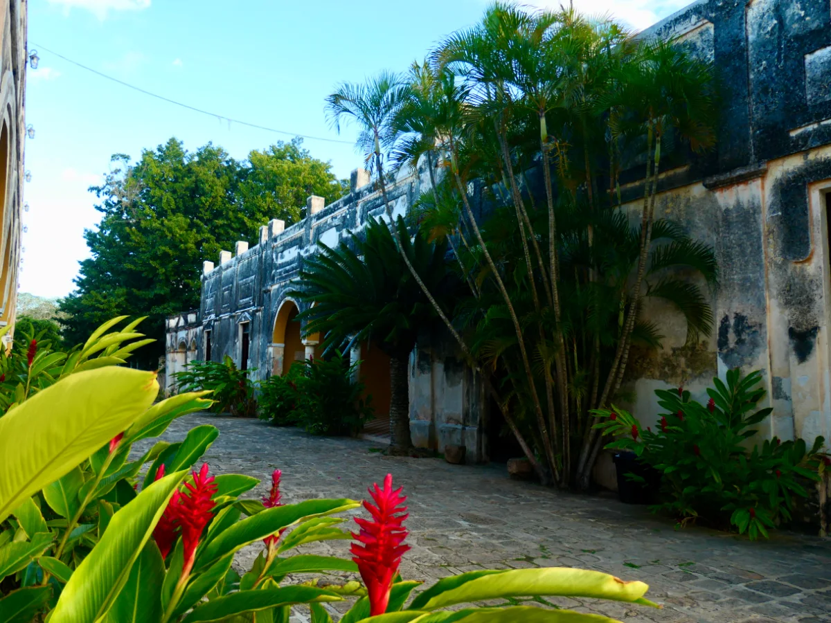
- 10:30 AM Check-in and historical tour — A guide from the estate itself explains how the henequen business worked and what survives of it.
- 11:00 AM Carlota and Azul Maya cenotes — Two hours in the water. To move between the cenotes you cross the channel, swimming or along the stone path.
- 1:00 PM Time for lunch — Yucatecan food at the estate restaurant, paid per order. There is a pool for anyone who wants to stay in the water.
- 3:00 PM Back to Mérida — An hour back.
Included: Transport, Guide, Entry to the hacienda and cenotes
Not included: Food, Drinks
Towns · 9 h
Izamal and two cenotes
Izamal’s yellow first, then two cold cenotes
from $1,300 MXN per person
See itinerary
8:00 AM – 5:00 PM · daily
- 8:00 AM Departure from the office — An hour on the road. The guide uses it to explain where Izamal comes from before you arrive.
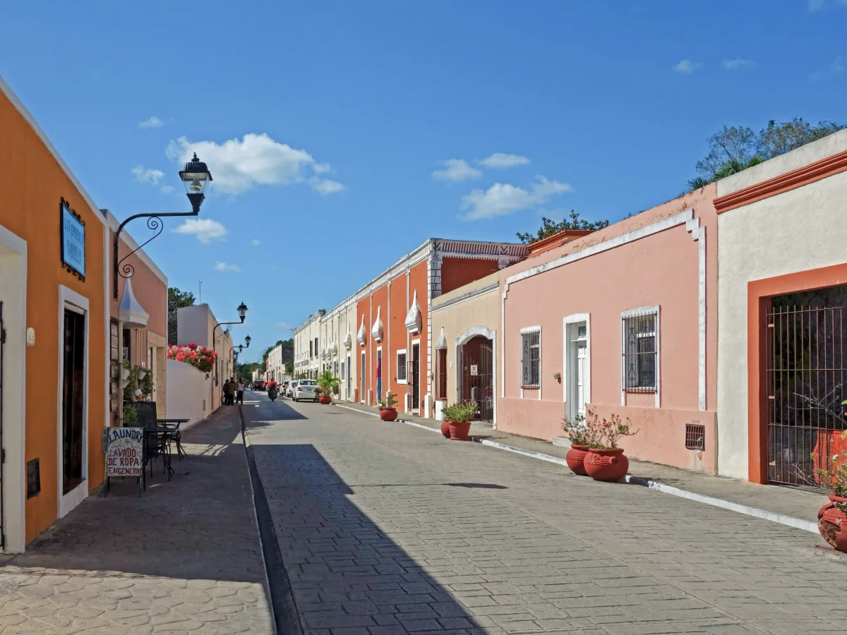
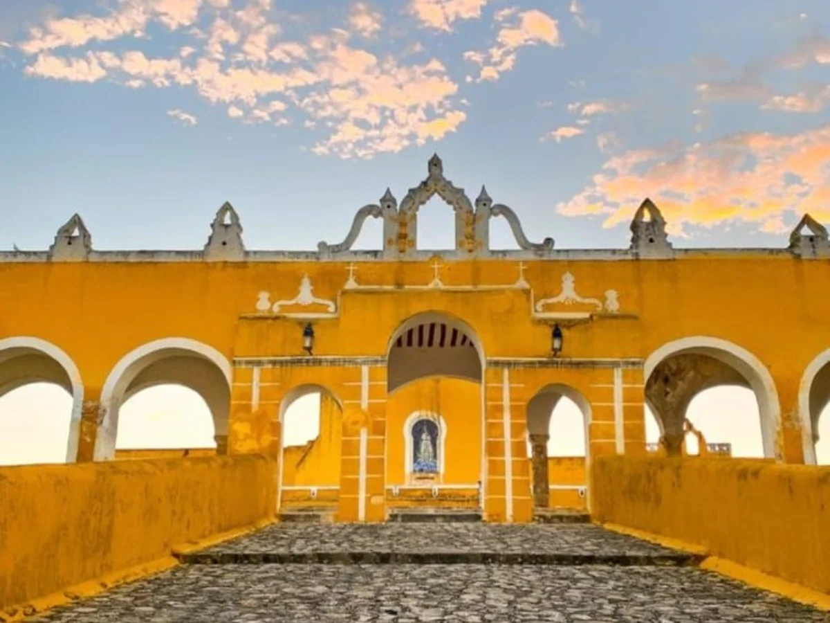
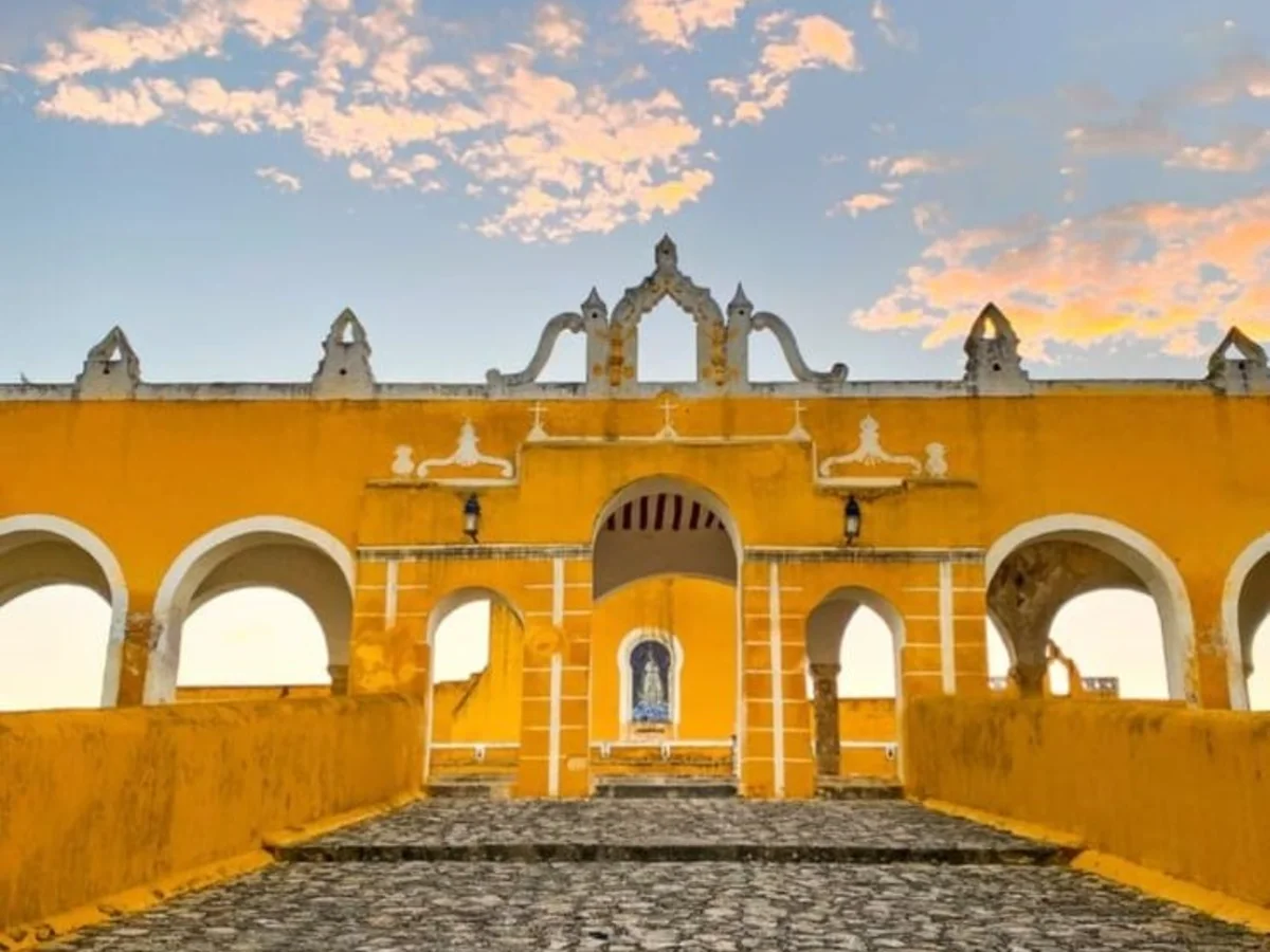
- 9:00 AM The yellow town — The convent and its atrium, among the largest on the continent, the baroque altarpiece, and then free time around the streets.
- 10:20 AM On to the Homún ring — Forty more minutes to the cenote area.
- 11:00 AM Yaxbacaltún cenote — The first swim, landing right after the morning’s walking.
- 12:15 PM San Antonio cenote and lunch — A semi-closed cenote that feels nothing like the first one, and lunch served right there.
- 3:15 PM Back to Mérida — Back to Mérida, arriving around five.
Included: Transport, Guide, Entry to both cenotes, Lunch
Not included: Drinks
Frequently asked questions
Why are there no rivers in Yucatán?
The limestone is so permeable that rain seeps underground and forms an aquifer.
Where does Yucatán's drinking water come from?
From the underground aquifer, which in the northwest of the peninsula is the only drinking-water source.
Are cenotes connected to each other?
Many are part of the same groundwater system.
Is the aquifer polluted?
It's highly vulnerable: a study cited in 2026 estimates 71% has high or extreme vulnerability.