What low deciduous forest is
Mexico's statistics and geography institute (INEGI) defines it as a community of short trees, usually 4 to 10 meters (13 to 33 feet) tall, in which most species drop their leaves during the dry season. That's what "deciduous" means: leaves that fall.
It grows in warm climates with low or seasonal moisture, like northern Yucatán's, where most of the rain falls in one part of the year.
A landscape with two faces
Drive through Yucatán in April or May and you'll see gray scrubland with bare branches and sunlight pouring through. Come back in September and you'll find a dense green wall. It's the same forest: INEGI notes that seasonal leaf loss makes its appearance change dramatically between the dry and rainy seasons.
Variations on the peninsula
Mexico's biodiversity commission (CONABIO) identifies several forms of low forest on the peninsula: deciduous, thorny deciduous and seasonally flooded. The deciduous type is the most common in the state of Yucatán.
A forest shaped by history
Northern Yucatán is a limestone shelf with thin soils, which constrains what grows there. But people have shaped it too. At Dzibilchaltún, near Mérida, Mexico's National Institute of Anthropology and History (INAH) describes today's vegetation as dry low forest and notes that the landscape was transformed by historical land use: lime production consumed large amounts of wood, and during the hacienda expansion henequen was planted systematically.
INEGI stresses the difference between original forest and secondary growth, the vegetation that returns after clearing: they aren't the same thing.
Tips for exploring it
- The dry season is hot with little shade: bring water and a hat.
- The rainy season brings more mosquitoes: repellent and long sleeves.
- Never light fires or leave trash: dry forest burns easily.
Dry forest on day trips from Mérida
On the way to the Homún cenotes, Hacienda Mucuyché or Izamal and its cenotes, Mary Tours trips cross stretches of low forest. At Mucuyché, a guide also explains the history of the henequen industry that transformed this landscape. The office is on Calle 61 in Mérida's historic center; prices and schedules are in the booking section.
| Dry season | Rainy season | |
|---|---|---|
| Leaves | Most trees bare | Full foliage |
| Landscape color | Gray and brown | Vivid green |
| Shade | Little | Plenty |
Fun facts
- The same Yucatán forest can look gray in May and green in September.
- Lime production consumed large amounts of forest wood near Dzibilchaltún.
- The peninsula even has a type of low forest that floods.
Related tours
Cenotes · 7 h
The four cenotes of Santa Bárbara
Four different cenotes and a lunch made by hand
from $1,450 MXN per person
See itinerary
10:00 AM – 5:00 PM · daily
- 10:00 AM Departure from the office — An hour on the road to Homún, through the ring of cenotes.
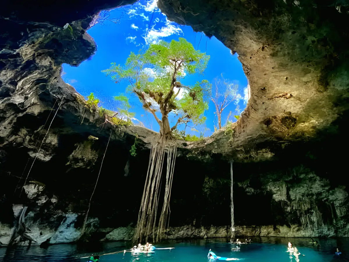
- 11:00 AM Cascabel cenote — Closed, cave type. You descend inside and the water sits in half-light: the most striking of the four.
- 11:30 AM Chaksikín cenote — Semi-open. You go down between limestone walls painted with Maya-themed murals.
- 12:00 PM Xooch cenote — Semi-open, with a shaft of light that falls straight onto the water mid-morning.
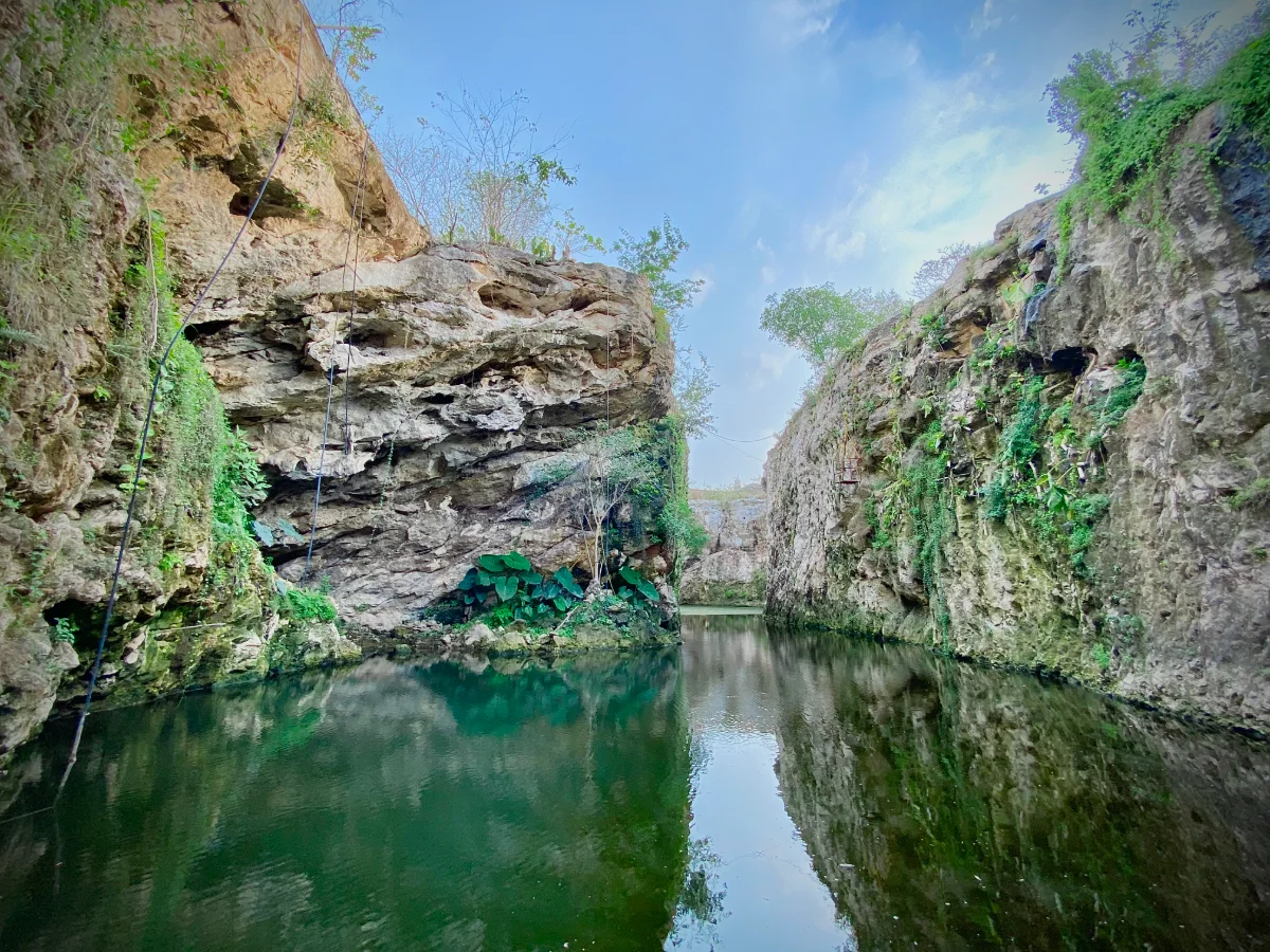
- 12:30 PM Pool Cocom cenote — Open and surrounded by vegetation. You swim along a channel out to the wide part.
- 1:30 PM Regional lunch — Home cooking with hand-made tortillas. Plenty of time to eat without rushing.
- 4:00 PM Back to Mérida — An hour back, arriving around five.
Included: Transport, Certified guide, Entry to all four cenotes, Regional lunch
Not included: Drinks with lunch
Cenotes · 7 h
Hacienda Mucuyché
A stone channel joining two cenotes
from $1,800 MXN per person
See itinerary
9:30 AM – 4:00 PM · daily
- 9:30 AM Departure from the office — An hour on the road to the estate, in the municipality of Abalá.
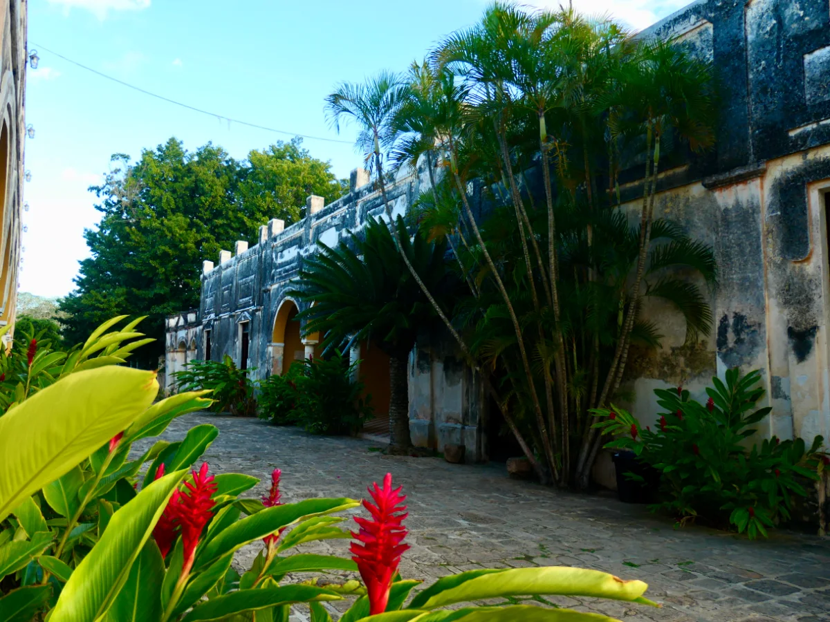
- 10:30 AM Check-in and historical tour — A guide from the estate itself explains how the henequen business worked and what survives of it.
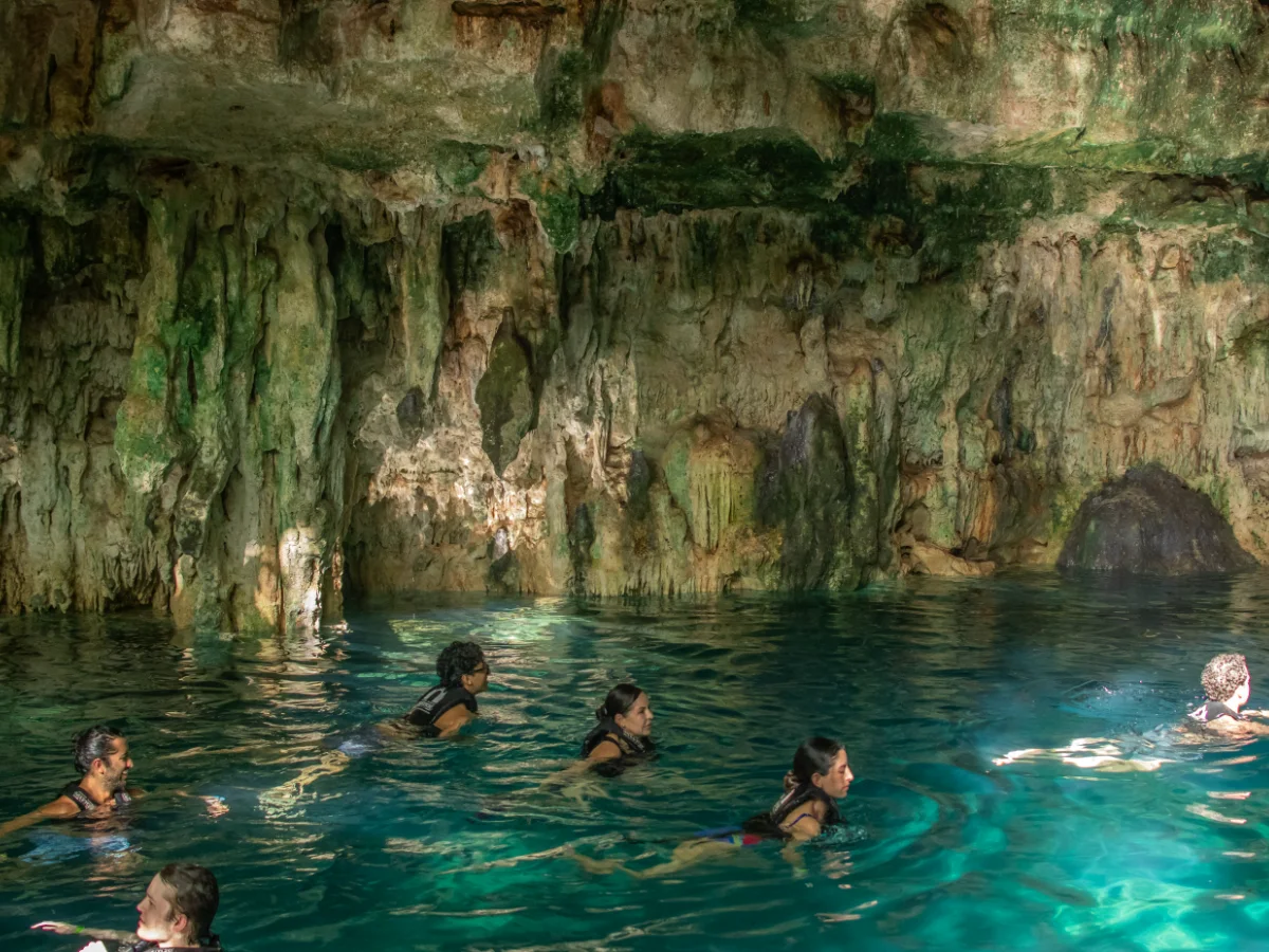
- 11:00 AM Carlota and Azul Maya cenotes — Two hours in the water. To move between the cenotes you cross the channel, swimming or along the stone path.
- 1:00 PM Time for lunch — Yucatecan food at the estate restaurant, paid per order. There is a pool for anyone who wants to stay in the water.
- 3:00 PM Back to Mérida — An hour back.
Included: Transport, Guide, Entry to the hacienda and cenotes
Not included: Food, Drinks
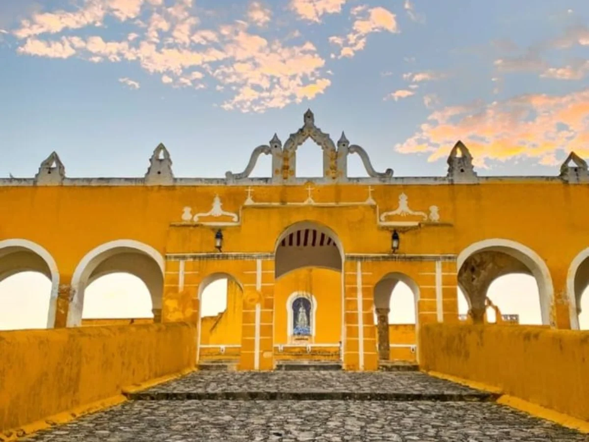
Towns · 9 h
Izamal and two cenotes
Izamal’s yellow first, then two cold cenotes
from $1,300 MXN per person
See itinerary
8:00 AM – 5:00 PM · daily
- 8:00 AM Departure from the office — An hour on the road. The guide uses it to explain where Izamal comes from before you arrive.
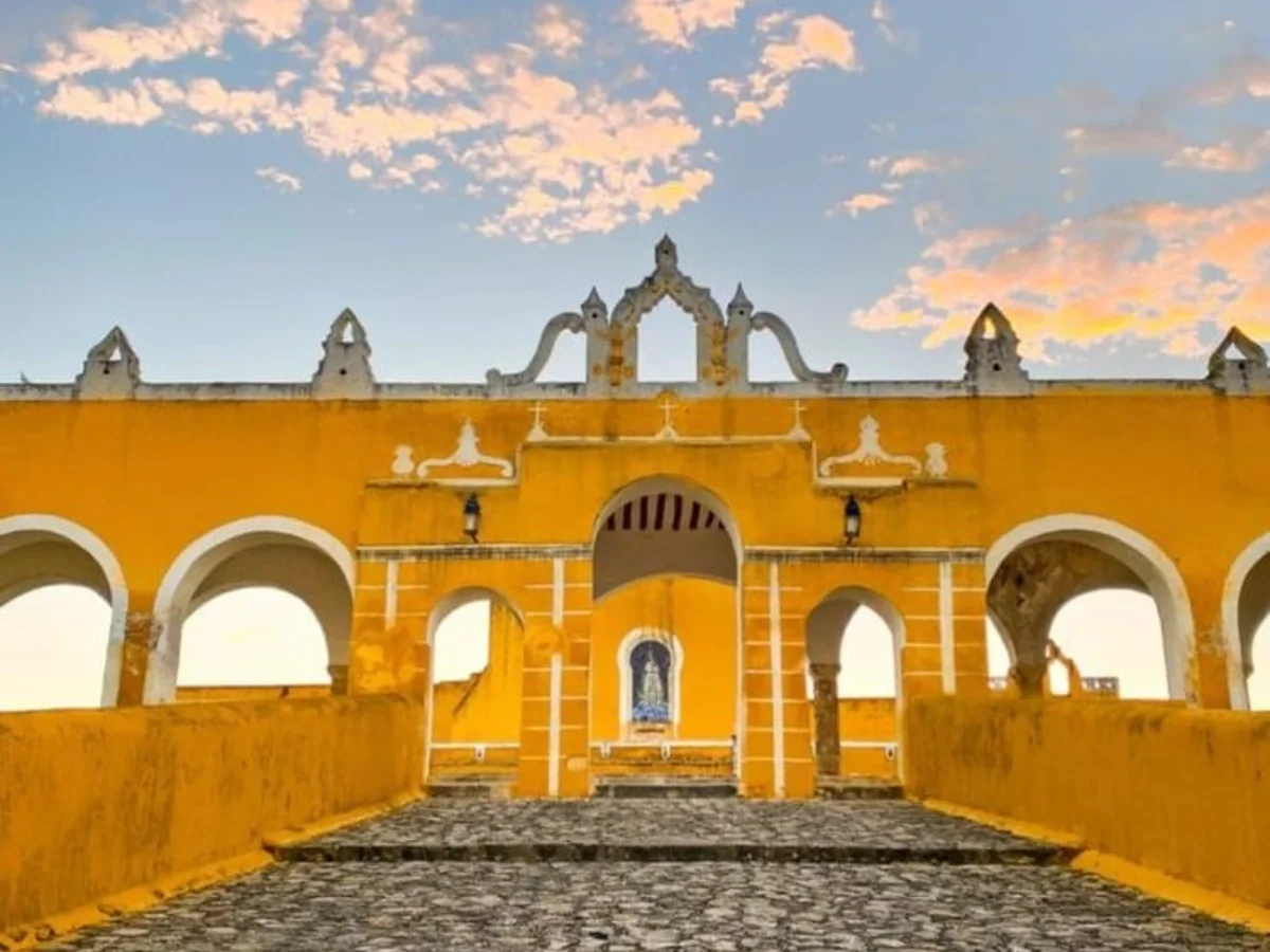
- 9:00 AM The yellow town — The convent and its atrium, among the largest on the continent, the baroque altarpiece, and then free time around the streets.
- 10:20 AM On to the Homún ring — Forty more minutes to the cenote area.
- 11:00 AM Yaxbacaltún cenote — The first swim, landing right after the morning’s walking.
- 12:15 PM San Antonio cenote and lunch — A semi-closed cenote that feels nothing like the first one, and lunch served right there.
- 3:15 PM Back to Mérida — Back to Mérida, arriving around five.
Included: Transport, Guide, Entry to both cenotes, Lunch
Not included: Drinks
Frequently asked questions
What does deciduous mean?
That most of the trees drop their leaves at one time of year, here the dry season.
How tall are the trees in low dry forest?
Usually 4 to 10 meters, according to INEGI.
Why does the Yucatán countryside look dry in spring?
It's the dry season and the trees shed their leaves; they green up with the rains.
Is the forest you see today original?
In many areas it has been reshaped by centuries of human use, and part of it is secondary growth.